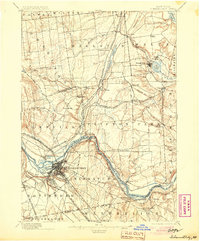
1898 Map of Schenectady
USGS Topo · Published 1904About this map
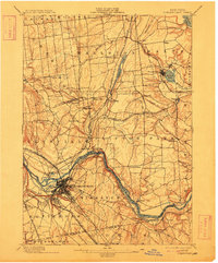
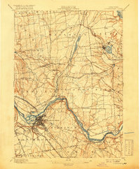
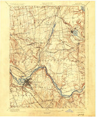
Industrial and transit corridors dominate this late 19th-century landscape, centered on the growing hub of Schenectady and its strategic position along the Mohawk River. The Erie Canal winds through the valley, paralleling a dense network of iron rails including the New York Central and Hudson River Railroad and the West Shore Railroad. This infrastructure anchors the region's development, connecting established settlements like Scotia and Rexford Flats to the broader Hudson Valley economy.
Find a feature on this map
70 named features on this map. Tap any name to fly to it.
Don’t see what you’re looking for? This feature index may not catch every label — zoom into the map to look around manually.
Map Details
Editions of this 1898 Schenectady Map
8 editions found
Other maps of this area

1893 · Cohoes
USGS Topo · 1:62,500

1893 · Troy
USGS Topo · 1:62,500

1893 · Schenectady
USGS Topo · 1:62,500

1893 · Albany
USGS Topo · 1:62,500

1895 · Troy
USGS Topo · 1:62,500

1895 · Cohoes
USGS Topo · 1:62,500

1895 · Albany
USGS Topo · 1:62,500

1895 · Schenectady
USGS Topo · 1:62,500

1895 · Amsterdam
USGS Topo · 1:62,500

1898 · Schenectady
USGS Topo · 1:62,500