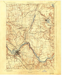
1898 Map of Schenectady
USGS Topo · Published 1925About this map
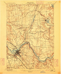
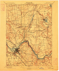
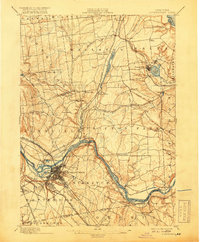
The Mohawk River serves as the industrial and transportation spine of this late 19th-century landscape, flanked by the Erie Canal and a dense network of competing rail lines. The city of Schenectady is shown in significant detail, illustrating its growth as a rail hub where the New York Central and Hudson River Railroad and the Delaware and Hudson R. R. converge. Further north, the landscape transitions into a series of smaller hamlets and rural crossroads such as Jonesville, Burnt Hills, and Charlton.
Find a feature on this map
67 named features on this map. Tap any name to fly to it.
Don’t see what you’re looking for? This feature index may not catch every label — zoom into the map to look around manually.
Map Details
Editions of this 1898 Schenectady Map
8 editions found
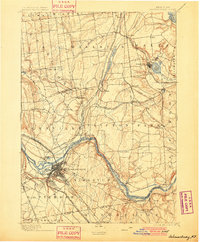
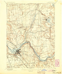
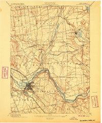
Other maps of this area

1893 · Cohoes
USGS Topo · 1:62,500

1893 · Troy
USGS Topo · 1:62,500

1893 · Schenectady
USGS Topo · 1:62,500

1893 · Albany
USGS Topo · 1:62,500

1895 · Troy
USGS Topo · 1:62,500

1895 · Cohoes
USGS Topo · 1:62,500

1895 · Albany
USGS Topo · 1:62,500

1895 · Schenectady
USGS Topo · 1:62,500

1895 · Amsterdam
USGS Topo · 1:62,500

1898 · Schenectady
USGS Topo · 1:62,500