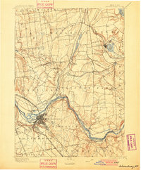
1898 Map of Schenectady
USGS Topo · Published 1900About this map
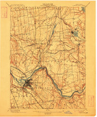
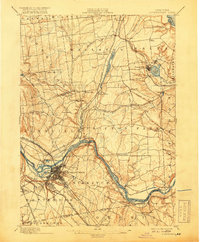
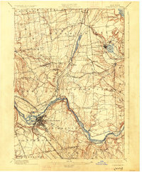
Industrial and transit networks define the late 19th-century landscape of Schenectady, where the Erie Canal and Mohawk River converge in a dense hub of commercial activity. This 1892 survey illustrates the critical intersection of water and rail, featuring the Aqueduct at Rexford Flats and a complex web of railroads including the New York Central and Hudson River Railroad and the Fitchburg Railroad. Beyond the urban core, the map traces the rural character of southern Saratoga County, marked by established settlements like Maltaville and the religious and recreational destination of Round Lake.
Find a feature on this map
66 named features on this map. Tap any name to fly to it.
Don’t see what you’re looking for? This feature index may not catch every label — zoom into the map to look around manually.
Map Details
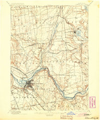
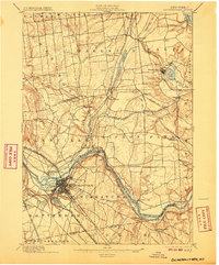
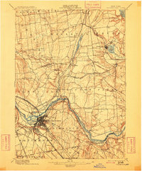
Editions of this 1898 Schenectady Map
8 editions found
Other maps of this area

1893 · Cohoes
USGS Topo · 1:62,500

1893 · Troy
USGS Topo · 1:62,500

1893 · Schenectady
USGS Topo · 1:62,500

1893 · Albany
USGS Topo · 1:62,500

1895 · Troy
USGS Topo · 1:62,500

1895 · Cohoes
USGS Topo · 1:62,500

1895 · Albany
USGS Topo · 1:62,500

1895 · Schenectady
USGS Topo · 1:62,500

1895 · Amsterdam
USGS Topo · 1:62,500

1898 · Schenectady
USGS Topo · 1:62,500