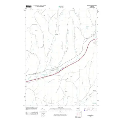
2010 Map of Schenevus
USGS Topo · Published 2010About this map
Schenevus Creek cuts a dominant southwest-to-northeast path through this portion of Otsego and Delaware Counties, serving as the primary corridor for regional transit and settlement. The village of Schenevus and the hamlet of Worcester anchor the map, illustrating the enduring valley-floor development pattern common to this part of the state. These centers are linked by a transportation artery that follows the water, passing Seward Lake and the small settlement of Chaseville.
Find a feature on this map
75 named features on this map. Tap any name to fly to it.
Don’t see what you’re looking for? This feature index may not catch every label — zoom into the map to look around manually.
Map Details
Editions of this 2010 Schenevus Map
This is the sole edition of this map. No revisions or reprints were ever made.
Other maps of this area

1904 · Richmondville
USGS Topo · 1:62,500

1904 · Hobart
USGS Topo · 1:62,500

1907 · Cooperstown
USGS Topo · 1:62,500

1909 · Cooperstown
USGS Topo · 1:62,500

1909 · Delhi
USGS Topo · 1:62,500

1911 · Delhi
USGS Topo · 1:62,500

1943 · Milford
USGS Topo · 1:24,000

1943 · South Valley
USGS Topo · 1:24,000

1943 · Westford
USGS Topo · 1:24,000

1943 · Charlotteville
USGS Topo · 1:24,000