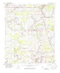
1961 Map of Schlater
USGS Topo · Published 1980About this map
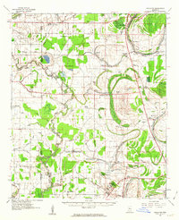
Schlater and Minter City anchor this 1961 Mississippi Delta landscape, where the meandering Tallahatchie River and Quiver River define a fertile, bayou-threaded terrain. The map captures the agricultural and educational foundations of Leflore and Sunflower counties just before significant modernization. The southern edge is marked by the campus of Mississippi Vocational College near Itta Bena, while the broader countryside is dotted with a dense network of local landmarks, including the I John Ch, Mile Tabernacle, and Marsh Berea Ch.
Find a feature on this map
80 named features on this map. Tap any name to fly to it.
Don’t see what you’re looking for? This feature index may not catch every label — zoom into the map to look around manually.
Map Details
Editions of this 1961 Schlater Map
2 editions found
Other maps of this area

1931 · Schlater
USGS Topo · 1:48,000

1931 · Sumner
USGS Topo · 1:48,000

1931 · Drew
USGS Topo · 1:48,000

1932 · Philipp
USGS Topo · 1:48,000

1934 · Cleveland
USGS Topo · 1:62,500

1934 · Schlater
USGS Topo · 1:62,500

1935 · Sumner
USGS Topo · 1:62,500

1935 · Mound Bayou
USGS Topo · 1:62,500

1935 · Philipp
USGS Topo · 1:62,500

1936 · Greenwood
USGS Topo · 1:62,500