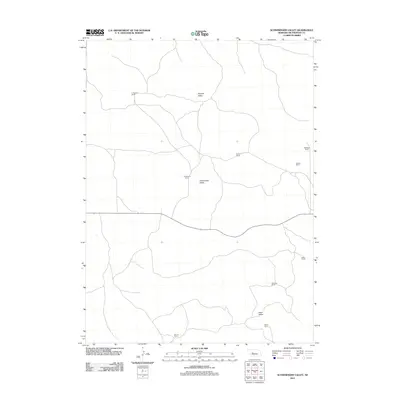
2011 Map of Schneringer Valley
USGS Topo · Published 2011About this map
Schneringer Valley and its surrounding ranchlands characterize this portion of McPherson County, where the Sandhills landscape is defined by its cattle ranching heritage. The area is sparsely populated, with long-established family operations such as the C Pinkerton Ranch and J Pinkerton Ranch marking the drainages and valleys. This 2011 survey documents a highly decentralized settlement pattern where individual ranch headquarters, like Qualley Ranch and Whittaker Ranch, serve as the primary landmarks in an expanse of undulating terrain. The geography is structured by natural depressions including Dishpan Valley and Dane Valley, which provide the necessary topography for the region's agricultural economy. This map serves as a detailed record of land use and family holdings, showing the network of local roads that connect sites like Cotton Ranch and Holloway Ranch across the expansive Nebraska plains.
Find a feature on this map
12 named features on this map. Tap any name to fly to it.
Don’t see what you’re looking for? This feature index may not catch every label — zoom into the map to look around manually.
Map Details
Editions of this 2011 Schneringer Valley Map
This is the sole edition of this map. No revisions or reprints were ever made.
Other maps of this area

1898 · Paxton
USGS Topo · 1:125,000

1899 · North Platte
USGS Topo · 1:125,000

1901 · Paxton
USGS Topo · 1:125,000

1902 · North Platte
USGS Topo · 1:125,000

1949 · Wright Valley
USGS Topo · 1:62,500

1951 · Tryon
USGS Topo · 1:62,500

1951 · Wright Valley
USGS Topo · 1:62,500

1954 · North Platte
USGS Topo · 1:250,000

1956 · North Platte
USGS Topo · 1:250,000

1957 · North Platte
USGS Topo · 1:250,000