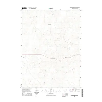
2014 Map of Schneringer Valley
USGS Topo · Published 2014About this map
Schneringer Valley serves as the central geographic landmark of this portion of McPherson County, where the undulating terrain of the Nebraska Sandhills is defined by broad, grassy depressions. The landscape here is characterized by a series of significant basins including Dishpan Valley to the north and Dane Valley to the south. These features reflect the unique hydrology and geology of the region, where large valleys often provide the primary corridors for both natural drainage and human passage. A single primary transportation route, Ne-92, cuts through the center of this terrain, winding between the dunes and valleys to connect this isolated landscape with the wider state road network. This modern survey maps the sparsely populated ranching country, documenting the topography of the High Plains before environmental or land-use changes shift the subtle contours of the hills.
Find a feature on this map
4 named features on this map. Tap any name to fly to it.
Don’t see what you’re looking for? This feature index may not catch every label — zoom into the map to look around manually.
Map Details
Editions of this 2014 Schneringer Valley Map
This is the sole edition of this map. No revisions or reprints were ever made.
Other maps of this area

1898 · Paxton
USGS Topo · 1:125,000

1899 · North Platte
USGS Topo · 1:125,000

1901 · Paxton
USGS Topo · 1:125,000

1902 · North Platte
USGS Topo · 1:125,000

1949 · Wright Valley
USGS Topo · 1:62,500

1951 · Tryon
USGS Topo · 1:62,500

1951 · Wright Valley
USGS Topo · 1:62,500

1954 · North Platte
USGS Topo · 1:250,000

1956 · North Platte
USGS Topo · 1:250,000

1957 · North Platte
USGS Topo · 1:250,000