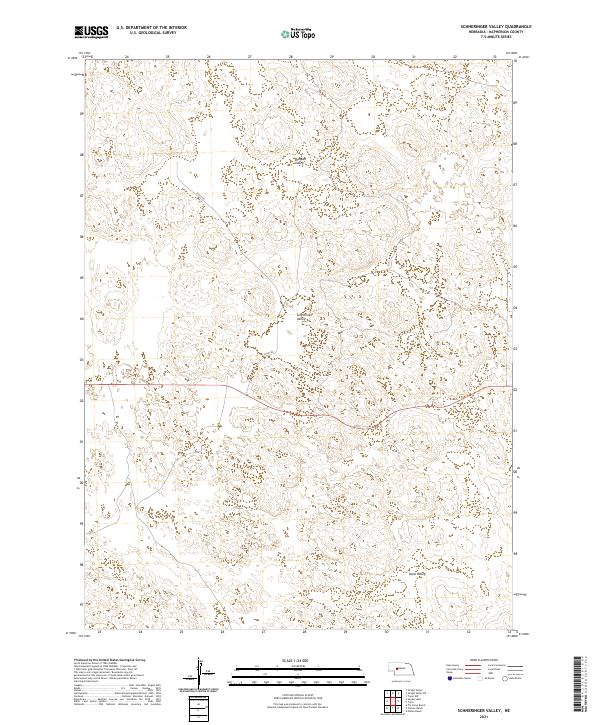
2021 Map of Schneringer Valley
USGS Topo · Published 2021About this map
Schneringer Valley lies at the heart of this Nebraska Sandhills landscape, characterized by the distinct undulating terrain of McPherson County. This 2021 survey illustrates a sparse, ranching-oriented environment where life is defined by the basins between the dunes. To the north, Dishpan Valley sits in a broad depression, while Dane Valley occupies the southeastern reach of the quadrangle. Human infrastructure is limited to essential connectors like Suchy Rd, which traverses the center of the sheet, and the township boundaries of t19n r33w and t18n r32w that provide the geometric framework for this remote prairie geography. The map reflects a modern record of a landscape that has remained largely defined by its natural topography and seasonal wetlands for generations.
Find a feature on this map
8 named features on this map. Tap any name to fly to it.
Don’t see what you’re looking for? This feature index may not catch every label — zoom into the map to look around manually.
Map Details
Editions of this 2021 Schneringer Valley Map
This is the sole edition of this map. No revisions or reprints were ever made.
Other maps of this area

1898 · Paxton
USGS Topo · 1:125,000

1899 · North Platte
USGS Topo · 1:125,000

1901 · Paxton
USGS Topo · 1:125,000

1902 · North Platte
USGS Topo · 1:125,000

1949 · Wright Valley
USGS Topo · 1:62,500

1951 · Tryon
USGS Topo · 1:62,500

1951 · Wright Valley
USGS Topo · 1:62,500

1954 · North Platte
USGS Topo · 1:250,000

1956 · North Platte
USGS Topo · 1:250,000

1957 · North Platte
USGS Topo · 1:250,000