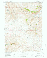
1958 Map of Schoettlin Mountain
USGS Topo · Published 1960About this map
Isolated homesteads and high-desert terrain define this mid-century look at Wyoming’s high plains near Schoettlin Mountain. Established livestock operations like the Bergstedt Ranch and Mathisen Ranch are tucked into the drainages of Sheep Mountain, while the massive geomorphology of Beaver Rim and the Dilabaugh Buttes dominates the southern landscape. The map captures a water-dependent cattle and sheep economy, where the location of every Spring and the seasonal flows of Beaver Creek or Meadows Creek dictated the placement of permanent ranch buildings.
Find a feature on this map
31 named features on this map. Tap any name to fly to it.
Don’t see what you’re looking for? This feature index may not catch every label — zoom into the map to look around manually.
Map Details
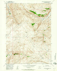
Editions of this 1958 Schoettlin Mountain Map
2 editions found
Other maps of this area

1953 · Lewiston Lakes
USGS Topo · 1:24,000

1953 · Barras Springs
USGS Topo · 1:24,000

1953 · Gravel Spring
USGS Topo · 1:24,000

1953 · Radium Springs
USGS Topo · 1:24,000

1953 · Schlichting Mountain
USGS Topo · 1:24,000

1953 · Del Monte Ridge
USGS Topo · 1:24,000

1953 · Yellowstone Ranch
USGS Topo · 1:24,000

1953 · Red Canyon
USGS Topo · 1:24,000

1953 · Weiser Pass
USGS Topo · 1:24,000

1955 · Lander
USGS Topo · 1:250,000