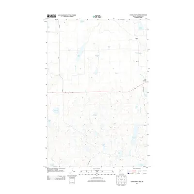
2013 Map of Schoolcraft Lake
USGS Topo · Published 2013About this map
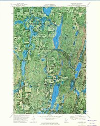
Schoolcraft River meanders through the heart of Hubbard County, shaping a dense network of glacial lakes and wetlands in this northern Minnesota landscape. Small settlements like Yola and Lake George serve as anchoring points along a corridor defined by Us-71 and Co HWY-3. The terrain is remarkably aquatic, featuring dozens of named water bodies from the elongated Lake Alice and Lake Minnie in the north to the more secluded Schoolcraft Lake and Frielund Lake in the southern reaches. This 2013 survey illustrates the modern road network, including Coon Lake Forest Rd, providing access to the region's numerous basins such as Beaver Dam Lake and Spider Lake. The mapping details how local drainages like Birch Cr and Lake Alice Cr connect these various catchments, reflecting a landscape where water and timbered shorelines remain the primary geographic features.
Find a feature on this map
31 named features on this map. Tap any name to fly to it.
Don’t see what you’re looking for? This feature index may not catch every label — zoom into the map to look around manually.
Map Details
Editions of this 2013 Schoolcraft Lake Map
This is the sole edition of this map. No revisions or reprints were ever made.
Other maps of this area

1954 · Bemidji
USGS Topo · 1:250,000

1957 · Bemidji
USGS Topo · 1:250,000

1958 · Bemidji
USGS Topo · 1:250,000

1968 · Frontenac Lake
USGS Topo · 1:24,000
1972 · Mantrap Lake
USGS Topo · 1:24,000

1972 · La Salle Lake
USGS Topo · 1:24,000
1972 · Two Inlets
USGS Topo · 1:24,000
1972 · Lake Itasca
USGS Topo · 1:24,000

1972 · Lake George
USGS Topo · 1:24,000
1972 · Lake Hattie
USGS Topo · 1:24,000