
1972 Map of La Salle Lake
USGS Topo · Published 1974About this map
The upper reaches of the Mississippi River flow through a landscape of dense woodlands and glacial lakes at the border of Clearwater and Hubbard counties. This 1970s orthophotomap provides a photographic record of the terrain as it appeared before modern development, anchored by the waters of Big LaSalle Lake and Lower LaSalle Lake. The map reveals the early connectivity of the region, where the Mississippi Headwaters State Forest meets the northern edges of Itasca State Park, indicating a long-standing commitment to preserving these critical headwaters.
Find a feature on this map
18 named features on this map. Tap any name to fly to it.
Don’t see what you’re looking for? This feature index may not catch every label — zoom into the map to look around manually.
Map Details
Editions of this 1972 La Salle Lake Map
This is the sole edition of this map. No revisions or reprints were ever made.
Other maps of this area

1954 · Bemidji
USGS Topo · 1:250,000

1957 · Bemidji
USGS Topo · 1:250,000

1958 · Bemidji
USGS Topo · 1:250,000

1969 · Anchor Hill
USGS Topo · 1:24,000

1969 · Heart Lake
USGS Topo · 1:24,000
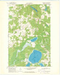
1969 · Upper Rice Lake
USGS Topo · 1:24,000

1972 · Alida
USGS Topo · 1:24,000
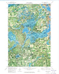
1972 · Grant Lake
USGS Topo · 1:24,000
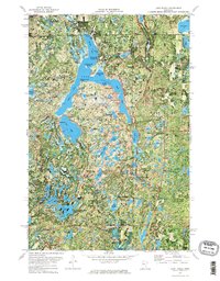
1972 · Lake Itasca
USGS Topo · 1:24,000
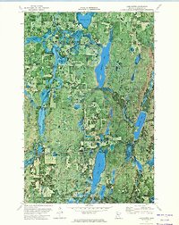
1972 · Lake Hattie
USGS Topo · 1:24,000