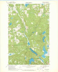
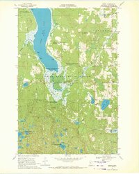
1969 Map of Heart Lake
USGS Topo · Published 1972About this map
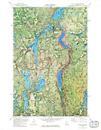
The White Earth Indian Reservation Boundary bisects this landscape of glacial lakes and wetlands in north-central Minnesota. The map documents a transition in land use, where forestry and wildlife conservation overlap at the White Earth State Forest and the Clearwater State Wildlife Management Area. A chain of significant water bodies, including Long Lake, Heart Lake, and Mallard Lake, are connected by marshy lowlands and streams such as Sucker Creek.
Find a feature on this map
35 named features on this map. Tap any name to fly to it.
Don’t see what you’re looking for? This feature index may not catch every label — zoom into the map to look around manually.
Map Details
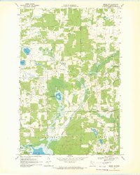
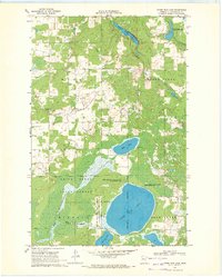
Editions of this 1969 Heart Lake Map
2 editions found
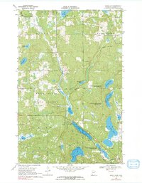
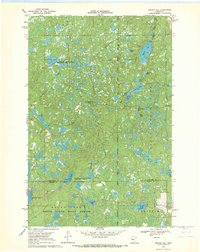
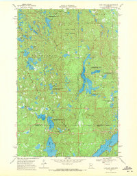
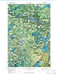
Other maps of this area

1954 · Bemidji
USGS Topo · 1:250,000

1957 · Bemidji
USGS Topo · 1:250,000

1958 · Bemidji
USGS Topo · 1:250,000
1969 · Anchor Hill
USGS Topo · 1:24,000
1969 · Long Lost Lake
USGS Topo · 1:24,000
1969 · Zerkel
USGS Topo · 1:24,000
1969 · Zerkel NW
USGS Topo · 1:24,000
1969 · Upper Rice Lake
USGS Topo · 1:24,000
1972 · Alida
USGS Topo · 1:24,000
1972 · La Salle Lake
USGS Topo · 1:24,000