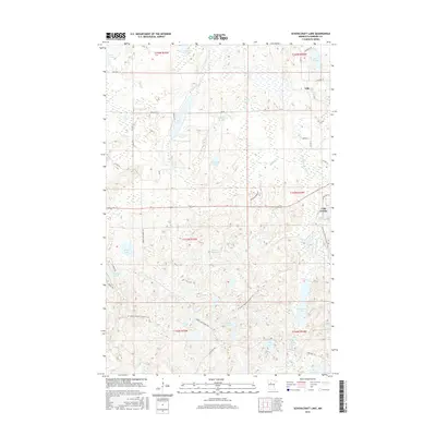
2016 Map of Schoolcraft Lake
USGS Topo · Published 2016About this map
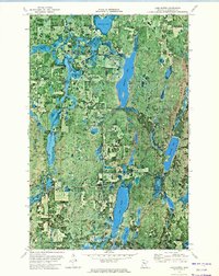
Lake George and the settlement of Yola anchor this Hubbard County landscape, where the headwaters of the Schoolcraft River wind through a dense network of glacial basins. The terrain is defined by a high concentration of water bodies, ranging from the large Schoolcraft Lake in the southeast to the smaller Beaver Dam Lake and Friedlund Lake. The 2016 survey illustrates the modern recreation and conservation footprint in the region, specifically marking the N Country National Scenic Trail as it traverses the southern timberlands. Local transport is characterized by a grid of rural routes like Co Hwy 4 and Spider Lake Forest Rd, providing access to isolated water features such as Brisbane Lake and Cranberry Lake. This map offers a clear view of the northern Minnesota lake country, capturing the intersection of small-town settlements and protected wilderness corridors.
Find a feature on this map
45 named features on this map. Tap any name to fly to it.
Don’t see what you’re looking for? This feature index may not catch every label — zoom into the map to look around manually.
Map Details
Editions of this 2016 Schoolcraft Lake Map
This is the sole edition of this map. No revisions or reprints were ever made.
Other maps of this area

1954 · Bemidji
USGS Topo · 1:250,000

1957 · Bemidji
USGS Topo · 1:250,000

1958 · Bemidji
USGS Topo · 1:250,000

1968 · Frontenac Lake
USGS Topo · 1:24,000
1972 · Mantrap Lake
USGS Topo · 1:24,000

1972 · La Salle Lake
USGS Topo · 1:24,000
1972 · Two Inlets
USGS Topo · 1:24,000
1972 · Lake Itasca
USGS Topo · 1:24,000

1972 · Lake George
USGS Topo · 1:24,000
1972 · Lake Hattie
USGS Topo · 1:24,000