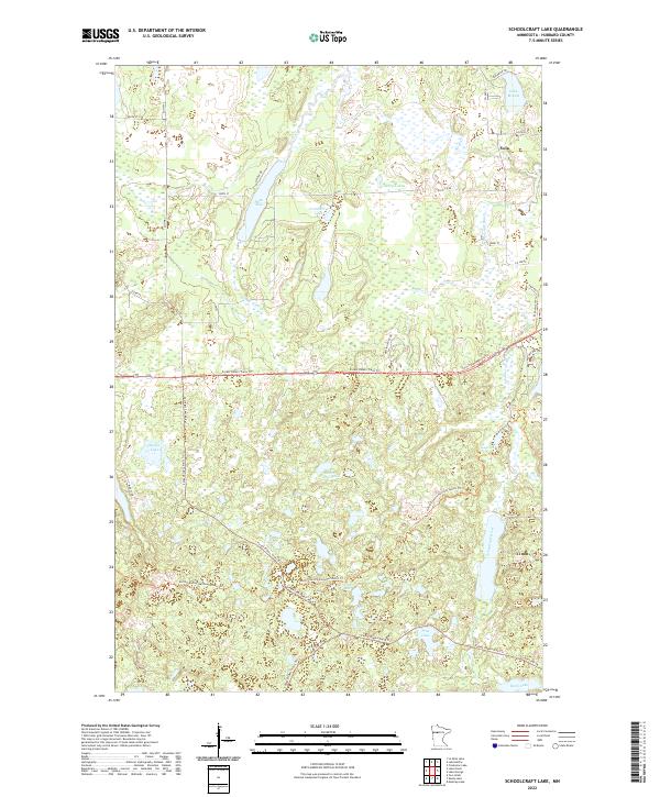
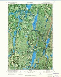
2022 Map of Schoolcraft Lake
USGS Topo · Published 2022About this map
Yola sits at the northeastern edge of this Hubbard County landscape, where the headwaters of the Schoolcraft River emerge from a complex of glacial wetlands and lakes. The terrain is defined by its extensive trail networks, including the long-distance North Country National Scenic Trl and the winding Forest Riders Trails Trl, which navigate between significant water bodies like Beaver Dam Lake and Lake Alice. The drainage pattern is intricate, with Birch Creek and Buffalo Cr feeding into the larger river system that eventually flows north toward the Mississippi headwaters. Local infrastructure is primarily oriented toward recreation and forest management, evidenced by routes such as Spider Lake Forest Rd and Coon Lake Trl. The map documents a contemporary view of these traditional northern woods, where naming conventions like Cranberry Lake and Spider Lake reflect the natural character of the Minnesota wilderness.
Find a feature on this map
41 named features on this map. Tap any name to fly to it.
Don’t see what you’re looking for? This feature index may not catch every label — zoom into the map to look around manually.
Map Details
Editions of this 2022 Schoolcraft Lake Map
This is the sole edition of this map. No revisions or reprints were ever made.
Other maps of this area

1954 · Bemidji
USGS Topo · 1:250,000

1957 · Bemidji
USGS Topo · 1:250,000

1958 · Bemidji
USGS Topo · 1:250,000

1968 · Frontenac Lake
USGS Topo · 1:24,000
1972 · Mantrap Lake
USGS Topo · 1:24,000

1972 · La Salle Lake
USGS Topo · 1:24,000
1972 · Two Inlets
USGS Topo · 1:24,000
1972 · Lake Itasca
USGS Topo · 1:24,000

1972 · Lake George
USGS Topo · 1:24,000
1972 · Lake Hattie
USGS Topo · 1:24,000