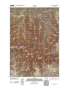
2011 Map of Schott Canyon
USGS Topo · Published 2011About this map
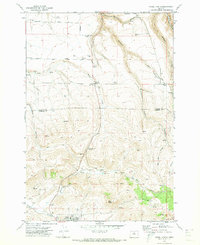
Thirtymile Creek carves a winding path through this corner of Gilliam County, anchoring a landscape defined by dramatic topographical relief and isolated high points. Notable elevations like Zero Butte and Coyote Butte rise above a complex network of drainages, including the aptly named Schott Canyon and Yellow Dog Canyon. The map reveals a land structured by its hydrology and livestock history, where Porcupine Ridge and Stebins Ridge separate various draws and hollows. Human presence is marked primarily by rugged corridors such as Richmond Rd and Armstrong Canyon Rd, which follow the natural contours of the terrain. The presence of features like Crazy Fork and Sniption Canyon suggests a region of localized geographic identities, where every drainage and ridge-line has been cataloged to aid navigation in a sparsely populated ranching or wilderness environment.
Find a feature on this map
26 named features on this map. Tap any name to fly to it.
Don’t see what you’re looking for? This feature index may not catch every label — zoom into the map to look around manually.
Map Details
Editions of this 2011 Schott Canyon Map
This is the sole edition of this map. No revisions or reprints were ever made.
Other maps of this area

1916 · Condon
USGS Topo · 1:125,000

1953 · The Dalles
USGS Topo · 1:250,000

1956 · The Dalles
USGS Topo · 1:250,000

1957 · The Dalles
USGS Topo · 1:250,000

1970 · Igo Butte
USGS Topo · 1:24,000
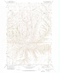
1970 · Schott Canyon
USGS Topo · 1:24,000
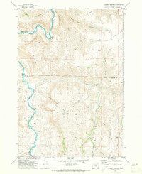
1970 · Chimney Springs
USGS Topo · 1:24,000

1970 · Condon
USGS Topo · 1:24,000
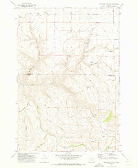
1970 · Buckhorn Canyon
USGS Topo · 1:24,000
1970 · Fossil North
USGS Topo · 1:24,000