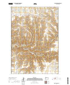
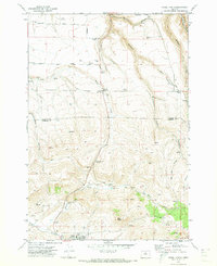
2020 Map of Schott Canyon
USGS Topo · Published 2020About this map
Thirtymile Cr carves a winding path through this corner of Gilliam County, anchoring a landscape defined by an intricate network of drainage systems and high ridges. The area is marked by a deep-seated geography of canyons, including the central Schott Canyon and the evocatively named Coffin Canyon and Yellow Dog Canyon. These natural corridors have long dictated movement through the region, as seen in the placement of Sniption Canyon Rd and Armstrong Canyon Rd, which trace the base of the steep terrain.
Find a feature on this map
39 named features on this map. Tap any name to fly to it.
Don’t see what you’re looking for? This feature index may not catch every label — zoom into the map to look around manually.
Map Details
Editions of this 2020 Schott Canyon Map
This is the sole edition of this map. No revisions or reprints were ever made.
Other maps of this area

1916 · Condon
USGS Topo · 1:125,000

1953 · The Dalles
USGS Topo · 1:250,000

1956 · The Dalles
USGS Topo · 1:250,000

1957 · The Dalles
USGS Topo · 1:250,000

1970 · Igo Butte
USGS Topo · 1:24,000
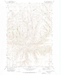
1970 · Schott Canyon
USGS Topo · 1:24,000
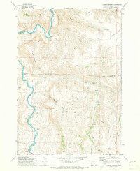
1970 · Chimney Springs
USGS Topo · 1:24,000

1970 · Condon
USGS Topo · 1:24,000
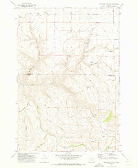
1970 · Buckhorn Canyon
USGS Topo · 1:24,000
1970 · Fossil North
USGS Topo · 1:24,000