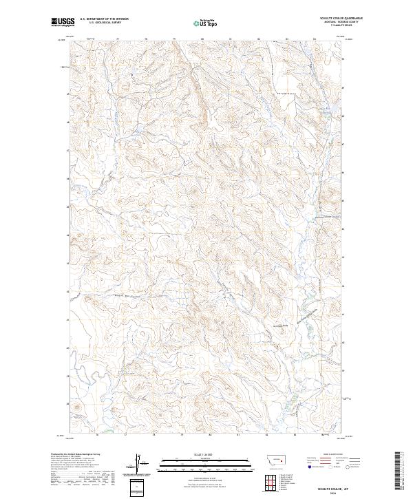
2024 Map of Schultz Coulee
USGS Topo · Published 2024About this map
Ice Cream Butte rises as a distinct landmark above a landscape defined by an intricate network of drainages in Rosebud County. This region is characterized by its complex coulee systems, including Schultz Coulee, Hammerstrom Coulee, and Wagon Box Coulee, which serve as the primary natural corridors for water runoff in this semi-arid environment. The presence of Big Reservoir and East Fork Reservoir highlights the importance of water management for livestock and local land use, catching flow from tributaries like Cherry Creek and East Fork Horse Creek. The township and range lines of t8n r41e and its neighbors delineate the vast grazing lands, where modern infrastructure is minimal, represented largely by the winding path of Quarter Horse Rd. This survey captures the rural character of the high plains just before the mid-2020s, showing the intersection of natural topography and agricultural necessity.
Find a feature on this map
18 named features on this map. Tap any name to fly to it.
Don’t see what you’re looking for? This feature index may not catch every label — zoom into the map to look around manually.
Map Details
Editions of this 2024 Schultz Coulee Map
This is the sole edition of this map. No revisions or reprints were ever made.
Other maps of this area

1954 · Forsyth
USGS Topo · 1:250,000

1957 · Forsyth
USGS Topo · 1:250,000

1958 · Forsyth
USGS Topo · 1:250,000

1968 · Orinoco
USGS Topo · 1:24,000

1968 · Rosebud
USGS Topo · 1:24,000

1968 · Box Canyon Coulee
USGS Topo · 1:24,000

1968 · Forsyth
USGS Topo · 1:24,000

1968 · Schultz Coulee
USGS Topo · 1:24,000

1968 · Black Coulee
USGS Topo · 1:24,000

1969 · Wild Horse Pass
USGS Topo · 1:24,000