
1930 Map of Schunemunk
USGS Topo · Published 1930About this map
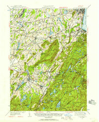
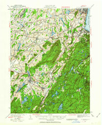
Schunemunk Mountain dominates this portion of Orange County, serving as a massive topographical spine between the valley of Moodna Creek and the western highlands. In the late 1920s, the landscape was defined by its railroad connectivity, where the Erie RR and New York Ontario And Western RR intersect at strategic points like Burnside Station and Newburg Junction. Settlement patterns follow the lowlands and watercourses, with established communities like Washingtonville, Salisbury Mills, and Harriman serving as local hubs.
Find a feature on this map
92 named features on this map. Tap any name to fly to it.
Don’t see what you’re looking for? This feature index may not catch every label — zoom into the map to look around manually.
Map Details
Editions of this 1930 Schunemunk Map
3 editions found
Other maps of this area

1891 · Greenwood Lake
USGS Topo · 1:62,500

1891 · Ramapo
USGS Topo · 1:62,500

1892 · West Point
USGS Topo · 1:62,500

1892 · Tarrytown
USGS Topo · 1:62,500

1893 · Greenwood Lake
USGS Topo · 1:62,500

1893 · Tarrytown
USGS Topo · 1:62,500

1893 · Ramapo
USGS Topo · 1:62,500

1893 · Poughkeepsie
USGS Topo · 1:62,500

1894 · West Point
USGS Topo · 1:62,500

1894 · Poughkeepsie
USGS Topo · 1:62,500