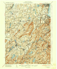
1935 Map of Schunemunk
USGS Topo · Published 1935About this map
The Catskill Aqueduct carves its way across the landscape of Orange County, a testament to the engineering required to support a growing region. In the mid-1930s, the terrain is defined by its deep relationship with water and transit, featuring a dense network of reservoirs like Lake Washington and Popolopen Lake, alongside the bustling movements of the Erie RR and West Shore RR. To the east, the West Point Military Reservation dominates the hills overlooking the Hudson River, while the rural interior is dotted with local institutions such as Bethlehem Ch and the Turkeytown Sch. The proximity of industrial and natural features is evident at the Bull Mine near Monroe, situated just north of the expansive Mombasha Lake. This survey captures the county during a period of transition, where small railroad junctions like Vails Gate Junc served as vital links between the Hudson riverfront and the farming communities of Blooming Grove and Hamptonburg.
Find a feature on this map
153 named features on this map. Tap any name to fly to it.
Don’t see what you’re looking for? This feature index may not catch every label — zoom into the map to look around manually.
Map Details
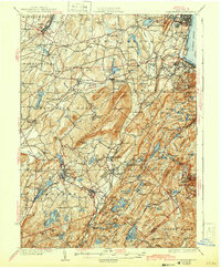
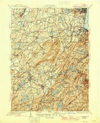
Editions of this 1935 Schunemunk Map
4 editions found

Other maps of this area

1891 · Greenwood Lake
USGS Topo · 1:62,500

1891 · Ramapo
USGS Topo · 1:62,500

1892 · West Point
USGS Topo · 1:62,500

1892 · Tarrytown
USGS Topo · 1:62,500

1893 · Greenwood Lake
USGS Topo · 1:62,500

1893 · Tarrytown
USGS Topo · 1:62,500

1893 · Ramapo
USGS Topo · 1:62,500

1893 · Poughkeepsie
USGS Topo · 1:62,500

1894 · West Point
USGS Topo · 1:62,500

1894 · Poughkeepsie
USGS Topo · 1:62,500