
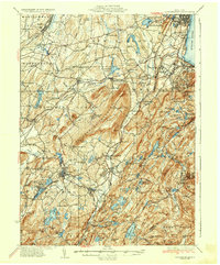
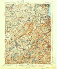
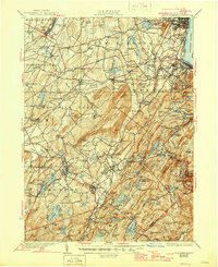
1935 Map of Schunemunk
USGS Topo · Published 1935About this map
Schunemunk Mountain dominates the center of this Orange County landscape, rising between the western valley of the Erie RR and the eastern highlands of the West Point Military Reservation. In the mid-1930s, this region was a complex network of industrial and rural life, where the West Shore RR and New York Ontario and Western RR converged near the Hudson River at Cornwall.
Find a feature on this map
155 named features on this map. Tap any name to fly to it.
Don’t see what you’re looking for? This feature index may not catch every label — zoom into the map to look around manually.
Map Details
Editions of this 1935 Schunemunk Map
4 editions found
Other maps of this area

1891 · Greenwood Lake
USGS Topo · 1:62,500

1891 · Ramapo
USGS Topo · 1:62,500

1892 · West Point
USGS Topo · 1:62,500

1892 · Tarrytown
USGS Topo · 1:62,500

1893 · Greenwood Lake
USGS Topo · 1:62,500

1893 · Tarrytown
USGS Topo · 1:62,500

1893 · Ramapo
USGS Topo · 1:62,500

1893 · Poughkeepsie
USGS Topo · 1:62,500

1894 · West Point
USGS Topo · 1:62,500

1894 · Poughkeepsie
USGS Topo · 1:62,500