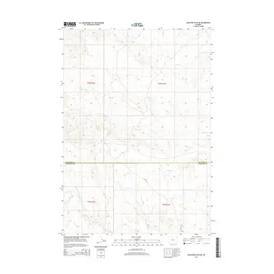
2015 Map of Schuster Flats NE
USGS Topo · Published 2015About this map
Fivemile Cr and Sixmile Cr wind through the arid northern basin of Wyoming along the border of Big Horn and Washakie counties. This 2015 survey reveals a landscape largely defined by its drainage systems and the public land survey system, with townships like t49n r94w and t48n r93w dividing the terrain. The presence of Ten Mile Rd serves as the primary corridor through these flats, connecting the various ephemeral watercourses that drain the region. The map captures the complex hydrology of the Tenmile basin, specifically the headwaters of N Fork Tenmile Cr and Middle Fork Tenmile Cr. These geographical markers are essential for understanding the livestock and land-use patterns in this sparsely settled high-desert environment during the early 21st century.
Find a feature on this map
12 named features on this map. Tap any name to fly to it.
Don’t see what you’re looking for? This feature index may not catch every label — zoom into the map to look around manually.
Map Details
Editions of this 2015 Schuster Flats NE Map
This is the sole edition of this map. No revisions or reprints were ever made.
Other maps of this area

1951 · Schuster Flats NE
USGS Topo · 1:24,000

1951 · Schuster Flats
USGS Topo · 1:24,000

1951 · Schuster Flats NW
USGS Topo · 1:24,000

1951 · Schuster Flats SE
USGS Topo · 1:24,000

1955 · Cody
USGS Topo · 1:250,000

1955 · Sheridan
USGS Topo · 1:250,000

1958 · Cody
USGS Topo · 1:250,000

1958 · Sheridan
USGS Topo · 1:250,000

1960 · Manderson
USGS Topo · 1:24,000

1962 · Sheridan
USGS Topo · 1:250,000