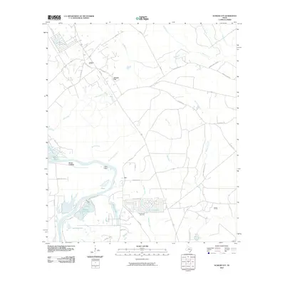
2010 Map of Schwab City
USGS Topo · Published 2010About this map
The Trinity River meanders through this landscape in Polk County, defining the local geography and historical settlement patterns at Drews Landing and Ace. This 2010 survey illustrates a region where timber and petroleum industries have long intersected, evidenced by the Livingston Oil Field in the northwest and the Schwab Oil Field to the east. The terrain is marked by a complex network of waterways, including the Ace Emanuel Branch and Mill Creek, which feed into the main river channel. Residential development is visible around Schwab City and the clustered housing near Lake Connie Jean, where the Lake Connie Jean Dam regulates the water. To the north, the presence of Forest Springs Lake and several named branches like Isham Branch and Turner Creek suggest a well-watered timberland landscape accessed by rural routes such as Old Hwy 146 and Menard Chapel Rd.
Find a feature on this map
55 named features on this map. Tap any name to fly to it.
Don’t see what you’re looking for? This feature index may not catch every label — zoom into the map to look around manually.
Map Details
Editions of this 2010 Schwab City Map
This is the sole edition of this map. No revisions or reprints were ever made.
Other maps of this area

1943 · Liberty
USGS Topo · 1:125,000

1954 · Beaumont
USGS Topo · 1:250,000

1955 · Saratoga
USGS Topo · 1:62,500

1955 · Rayburn
USGS Topo · 1:62,500

1957 · Beaumont
USGS Topo · 1:250,000

1958 · Livingston
USGS Topo · 1:62,500

1958 · Segno
USGS Topo · 1:62,500

1984 · Segno
USGS Topo · 1:24,000

1984 · Soda
USGS Topo · 1:24,000

1984 · Beaumont
USGS Topo · 1:250,000