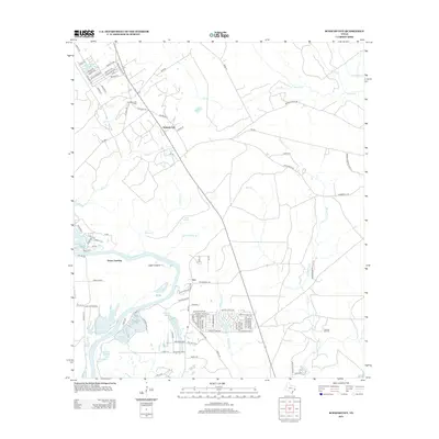
2013 Map of Schwab City
USGS Topo · Published 2013About this map
The Livingston Oil Field and Schwab Oil Field anchor this landscape in Polk County, illustrating the enduring intersection of the petroleum industry and the rural Texas Big Thicket region. The Trinity River snakes along the western edge, creating a complex wetland environment of oxbows and named waters such as George Taylor Lake and Fish Scale Lake. The map reveals several small settlements, including Schwab City, Ace, and the historic Drews Landing site near the Logan League land grant.
Find a feature on this map
104 named features on this map. Tap any name to fly to it.
Don’t see what you’re looking for? This feature index may not catch every label — zoom into the map to look around manually.
Map Details
Editions of this 2013 Schwab City Map
This is the sole edition of this map. No revisions or reprints were ever made.
Other maps of this area

1943 · Liberty
USGS Topo · 1:125,000

1954 · Beaumont
USGS Topo · 1:250,000

1955 · Saratoga
USGS Topo · 1:62,500

1955 · Rayburn
USGS Topo · 1:62,500

1957 · Beaumont
USGS Topo · 1:250,000

1958 · Livingston
USGS Topo · 1:62,500

1958 · Segno
USGS Topo · 1:62,500

1984 · Segno
USGS Topo · 1:24,000

1984 · Soda
USGS Topo · 1:24,000

1984 · Beaumont
USGS Topo · 1:250,000