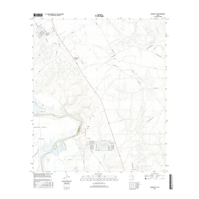
2016 Map of Schwab City
USGS Topo · Published 2016About this map
The Trinity River winds along the southwestern boundary of this East Texas landscape, forming the natural divide between San Jacinto and Polk counties. The small settlements of Schwab City and Ace serve as local hubs, connected by the arterial Old Highway 146. This area is characterized by an intricate network of waterways, including Menard Cr and Mill Cr, which drain into the low-lying river bottomlands.
Find a feature on this map
90 named features on this map. Tap any name to fly to it.
Don’t see what you’re looking for? This feature index may not catch every label — zoom into the map to look around manually.
Map Details
Editions of this 2016 Schwab City Map
This is the sole edition of this map. No revisions or reprints were ever made.
Other maps of this area

1943 · Liberty
USGS Topo · 1:125,000

1954 · Beaumont
USGS Topo · 1:250,000

1955 · Saratoga
USGS Topo · 1:62,500

1955 · Rayburn
USGS Topo · 1:62,500

1957 · Beaumont
USGS Topo · 1:250,000

1958 · Livingston
USGS Topo · 1:62,500

1958 · Segno
USGS Topo · 1:62,500

1984 · Segno
USGS Topo · 1:24,000

1984 · Soda
USGS Topo · 1:24,000

1984 · Beaumont
USGS Topo · 1:250,000