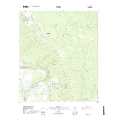
2019 Map of Schwab City
USGS Topo · Published 2019About this map
Schwab City and the nearby community of Ace occupy this portion of the Texas Big Thicket region as documented in 2019. The landscape is defined by the winding course of the Trinity River, which forms a natural boundary between Polk Co and San Jacinto Co. The area's character is shaped by a dense network of timber and oil field roads, including Old Hwy 146 and FM 2665, reflecting the local economy's reliance on these industries. Numerous small drainages such as Isham Br, Sally Cr, and Ace Emanuel Br feed into the river system.
Find a feature on this map
90 named features on this map. Tap any name to fly to it.
Don’t see what you’re looking for? This feature index may not catch every label — zoom into the map to look around manually.
Map Details
Editions of this 2019 Schwab City Map
This is the sole edition of this map. No revisions or reprints were ever made.
Other maps of this area

1943 · Liberty
USGS Topo · 1:125,000

1954 · Beaumont
USGS Topo · 1:250,000

1955 · Saratoga
USGS Topo · 1:62,500

1955 · Rayburn
USGS Topo · 1:62,500

1957 · Beaumont
USGS Topo · 1:250,000

1958 · Livingston
USGS Topo · 1:62,500

1958 · Segno
USGS Topo · 1:62,500

1984 · Segno
USGS Topo · 1:24,000

1984 · Soda
USGS Topo · 1:24,000

1984 · Beaumont
USGS Topo · 1:250,000