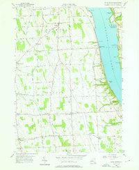
1956 Map of Scipio Center
USGS Topo · Published 1976About this map
Owasco Lake dominates the eastern edge of this mid-1950s survey, its shoreline dotted with named landings and seasonal camps such as Camp Columbus and Glenwood Beach. The terrain transitions from the water's edge up toward a high agricultural plateau, where small hamlets like Scipio Center, Merrifield, and Sherwood are connected by a network of rural roads such as Silver Street and Black Street. The Lehigh Valley railroad line runs parallel to the lake, serving the various settlements and local industry, including the Owasco Lake Sta. Genealogy researchers will find significant detail in the numerous family and church burial grounds, including the Fleming Cem, Eddy Cem, and St Bernard Cem, which anchor the townships of Fleming, Scipio, and Venice. This document captures the Cayuga County landscape before modern consolidation, preserving the locations of rural schoolhouses and the winding course of Salmon Creek.
Find a feature on this map
75 named features on this map. Tap any name to fly to it.
Don’t see what you’re looking for? This feature index may not catch every label — zoom into the map to look around manually.
Map Details
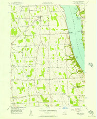
Editions of this 1956 Scipio Center Map
2 editions found
Other maps of this area

1898 · Moravia
USGS Topo · 1:62,500

1899 · Auburn
USGS Topo · 1:62,500

1899 · Skaneateles
USGS Topo · 1:62,500

1902 · Skaneateles
USGS Topo · 1:62,500

1902 · Moravia
USGS Topo · 1:62,500

1902 · Genoa
USGS Topo · 1:62,500

1902 · Auburn
USGS Topo · 1:62,500

1942 · Sheldrake
USGS Topo · 1:24,000

1942 · Genoa
USGS Topo · 1:24,000

1943 · Moravia
USGS Topo · 1:31,680