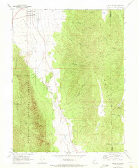
1969 Map of Scipio South
USGS Topo · Published 1973About this map
Scipio sits at the northern edge of this high-desert basin, where the agricultural flats of Scipio Valley transition into the steep drainages of the Pavant Range and the Mountains to the east. The landscape is defined by its water sources and livestock history, with names like Ralph Lund Spring, Billys Canyon, and Sorensen Canyon marking the rugged geography. A distinct seasonal drainage pattern emerges as Round Valley Creek flows through the center of the sheet, passing through the narrow passage known as The Gap. This area within the Fishlake National Forest contains numerous remote landmarks, including Noon Rock Peak and Wills Hole, while several Gravel Pits indicate the local extractive activity that supported the region's infrastructure during the late 1960s.
Find a feature on this map
36 named features on this map. Tap any name to fly to it.
Don’t see what you’re looking for? This feature index may not catch every label — zoom into the map to look around manually.
Map Details
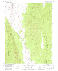
Editions of this 1969 Scipio South Map
2 editions found
Other maps of this area

1885 · Manti
USGS Topo · 1:250,000

1885 · Sevier Desert
USGS Topo · 1:250,000

1895 · Manti
USGS Topo · 1:250,000

1952 · Scipio North
USGS Topo · 1:62,500

1953 · Delta
USGS Topo · 1:250,000

1956 · Price
USGS Topo · 1:250,000

1958 · Delta
USGS Topo · 1:250,000

1960 · Price
USGS Topo · 1:250,000

1962 · Price
USGS Topo · 1:250,000

1962 · Delta
USGS Topo · 1:250,000