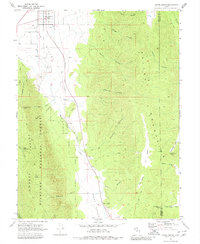
1969 Map of Scipio South
USGS Topo · Published 1980About this map
Scipio serves as the primary settlement on the northern edge of this high-altitude landscape, where the flat agricultural basin of Scipio Valley meets the rising terrain of the Pavant Range. The transition from valley floor to the forested slopes of Fishlake National Forest is marked by a network of drainage systems including Round Valley Creek and Raspberry Canyon. Notable for its many family-named landmarks, the map records the locations of Ralph Lund Spring, Sorensen Canyon, and Billys Canyon. The eastern portion is dominated by the steep ridges of the Valley Mountains, featuring remote points like Lone Cedar Pass and Indian Knoll. Local industry is evidenced by several Gravel Pits positioned along the base of the mountains, while backcountry accessibility is indicated by a variety of jeep and pack trails crossing the high country.
Find a feature on this map
42 named features on this map. Tap any name to fly to it.
Don’t see what you’re looking for? This feature index may not catch every label — zoom into the map to look around manually.
Map Details
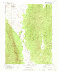
Editions of this 1969 Scipio South Map
2 editions found
Other maps of this area

1885 · Manti
USGS Topo · 1:250,000

1885 · Sevier Desert
USGS Topo · 1:250,000

1895 · Manti
USGS Topo · 1:250,000

1952 · Scipio North
USGS Topo · 1:62,500

1953 · Delta
USGS Topo · 1:250,000

1956 · Price
USGS Topo · 1:250,000

1958 · Delta
USGS Topo · 1:250,000

1960 · Price
USGS Topo · 1:250,000

1962 · Price
USGS Topo · 1:250,000

1962 · Delta
USGS Topo · 1:250,000