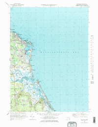
1974 Map of Scituate
USGS Topo · Published 1978About this map
Scituate Harbor serves as the focal point of this coastal landscape, where the historic Lighthouse and Coast Guard Station anchor the mouth of the bay. The map illustrates a complex maritime and marshland environment, defined by the winding paths of the North River and South River as they meet at the New Inlet. These waterways create a series of landforms including First Cliff, Second Cliff, and Third Cliff, which have long shaped the settlement patterns of Scituate.
Find a feature on this map
72 named features on this map. Tap any name to fly to it.
Don’t see what you’re looking for? This feature index may not catch every label — zoom into the map to look around manually.
Map Details
Editions of this 1974 Scituate Map
3 editions found
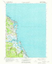
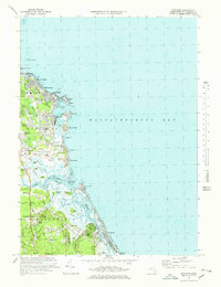
Other maps of this area

1885 · Abington
USGS Topo · 1:62,500

1885 · Duxbury
USGS Topo · 1:62,500

1888 · Duxbury
USGS Topo · 1:62,500

1888 · Abington
USGS Topo · 1:62,500

1892 · Boston Bay
USGS Topo · 1:62,500

1893 · Abington
USGS Topo · 1:62,500

1893 · Duxbury
USGS Topo · 1:62,500

1903 · Boston Bay
USGS Topo · 1:62,500

1918 · Duxbury
USGS Topo · 1:62,500

1920 · Abington
USGS Topo · 1:62,500