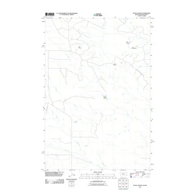
2011 Map of Scole School
USGS Topo · Published 2011About this map
Little Beaver Oil Field and the Little Beaver East Oil Field define the industrial landscape of this Fallon County region. These energy resources are situated amidst a network of drainage systems, including the southward-flowing Soda Creek and the northeastern reaches of Big Gumbo Creek. The terrain is punctuated by distinctive natural features such as The Colosseum, while man-made water management is evident at the Rusley Number 2 Dam. Connectivity through this expanse of eastern Montana is provided by rural arteries like Webster Rd and the Big Gumbo Management Area Rd, reflecting the area's dual character of resource extraction and managed rangeland.
Find a feature on this map
9 named features on this map. Tap any name to fly to it.
Don’t see what you’re looking for? This feature index may not catch every label — zoom into the map to look around manually.
Map Details
Editions of this 2011 Scole School Map
This is the sole edition of this map. No revisions or reprints were ever made.
Other maps of this area

1935 · Buffalo
USGS Topo · 1:125,000

1953 · Miles City
USGS Topo · 1:250,000

1953 · Dickinson
USGS Topo · 1:250,000

1954 · Lemmon
USGS Topo · 1:250,000

1954 · Ekalaka
USGS Topo · 1:250,000

1956 · Ekalaka
USGS Topo · 1:250,000

1957 · Dickinson
USGS Topo · 1:250,000

1957 · Lemmon
USGS Topo · 1:250,000

1957 · Miles City
USGS Topo · 1:250,000

1958 · Miles City
USGS Topo · 1:250,000