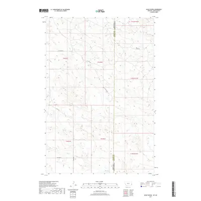
2017 Map of Scole School
USGS Topo · Published 2017About this map
The Colosseum provides a central landmark for this rural landscape on the border of Fallon County, Montana, and Bowman County, North Dakota. The area is defined by its drainage systems, featuring the headwaters and branches of Soda Cr, Mud Cr, and Big Gumbo Cr. The map illustrates a network of essential prairie roads such as Little Beaver Rd, Webster Rd, and Soda Creek Rd, which provide access across the state line. This remote section of the northern plains maintains a sparse settlement pattern, with the physical geography and water sources dictating the layout of the ranching and agricultural land divisions within the Public Land Survey System.
Find a feature on this map
16 named features on this map. Tap any name to fly to it.
Don’t see what you’re looking for? This feature index may not catch every label — zoom into the map to look around manually.
Map Details
Editions of this 2017 Scole School Map
This is the sole edition of this map. No revisions or reprints were ever made.
Other maps of this area

1935 · Buffalo
USGS Topo · 1:125,000

1953 · Miles City
USGS Topo · 1:250,000

1953 · Dickinson
USGS Topo · 1:250,000

1954 · Lemmon
USGS Topo · 1:250,000

1954 · Ekalaka
USGS Topo · 1:250,000

1956 · Ekalaka
USGS Topo · 1:250,000

1957 · Dickinson
USGS Topo · 1:250,000

1957 · Lemmon
USGS Topo · 1:250,000

1957 · Miles City
USGS Topo · 1:250,000

1958 · Miles City
USGS Topo · 1:250,000