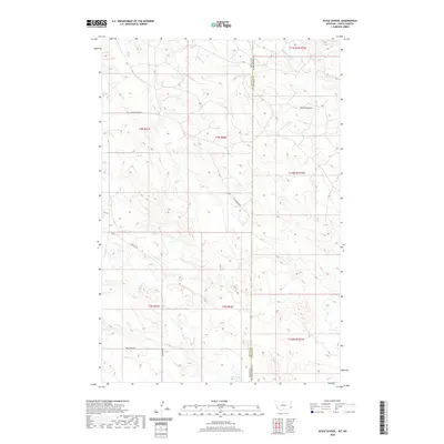
2020 Map of Scole School
USGS Topo · Published 2020About this map
The Colosseum, a striking terrain feature in the badlands of the Great Plains, dominates the northern reaches of this borderland survey. Located where the high prairies of Fallon and Bowman counties meet, the map documents the rural intersection of eastern Montana and western North Dakota. The landscape is defined by the ephemeral drainages of Big Gumbo Cr, Mud Cr, and Soda Cr, which carve through the high-elevation townships. Early regional transit is marked by established routes such as Little Beaver Rd and Webster Rd, tracing the paths of early settlers across this sparse, high-plains environment. The township and range lines of t4n r61e and t131n r107w illustrate the rigid survey system imposed on this undulating territory.
Find a feature on this map
16 named features on this map. Tap any name to fly to it.
Don’t see what you’re looking for? This feature index may not catch every label — zoom into the map to look around manually.
Map Details
Editions of this 2020 Scole School Map
This is the sole edition of this map. No revisions or reprints were ever made.
Other maps of this area

1935 · Buffalo
USGS Topo · 1:125,000

1953 · Miles City
USGS Topo · 1:250,000

1953 · Dickinson
USGS Topo · 1:250,000

1954 · Lemmon
USGS Topo · 1:250,000

1954 · Ekalaka
USGS Topo · 1:250,000

1956 · Ekalaka
USGS Topo · 1:250,000

1957 · Dickinson
USGS Topo · 1:250,000

1957 · Lemmon
USGS Topo · 1:250,000

1957 · Miles City
USGS Topo · 1:250,000

1958 · Miles City
USGS Topo · 1:250,000