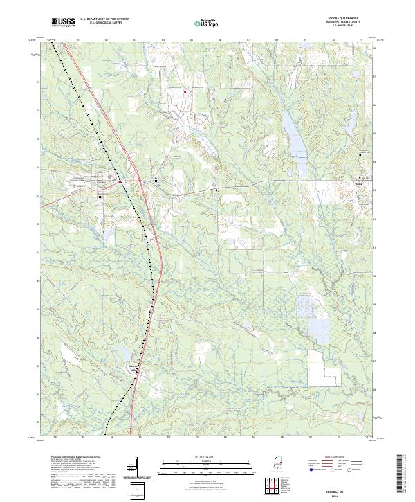
2024 Map of Scooba
USGS Topo · Published 2024About this map
Scooba and Electric Mills serve as the primary anchors of this eastern Mississippi landscape, where the prairie transitions into a network of creek bottoms and timber tracts. The town of Scooba is home to East Mississippi Community College and several local landmarks, including Cedar Lawn Memorial Cem and the nearby Blue Chapel. The surrounding countryside is defined by an extensive drainage system featuring Pushacoona Creek, Big Scooba Creek, and Bodka Creek, which wind through the township and range divisions.
Find a feature on this map
71 named features on this map. Tap any name to fly to it.
Don’t see what you’re looking for? This feature index may not catch every label — zoom into the map to look around manually.
Map Details
Editions of this 2024 Scooba Map
This is the sole edition of this map. No revisions or reprints were ever made.
Other maps of this area

1953 · Meridian
USGS Topo · 1:250,000

1957 · Meridian
USGS Topo · 1:250,000
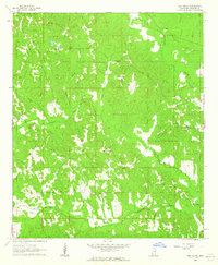
1962 · Oak Grove
USGS Topo · 1:24,000
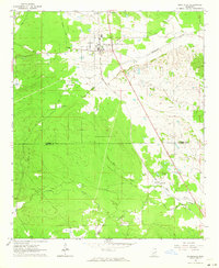
1962 · Shuqualak
USGS Topo · 1:24,000
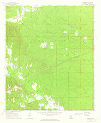
1963 · Townsend
USGS Topo · 1:24,000

1965 · Meridian
USGS Topo · 1:250,000
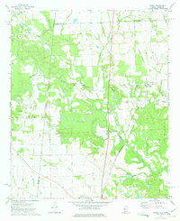
1973 · Panola
USGS Topo · 1:24,000
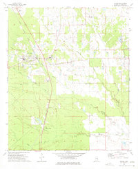
1973 · Scooba
USGS Topo · 1:24,000
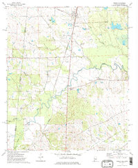
1973 · Geiger
USGS Topo · 1:24,000
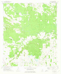
1973 · Paulette
USGS Topo · 1:24,000