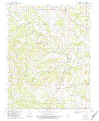
1980 Map of Scopus
USGS Topo · Published 1983About this map
Scopus and Mayfield anchor this rural landscape in Bollinger County, defined by the winding course of Little Whitewater Creek and its many tributaries. The area is dense with family history, marked by numerous small burial grounds such as Seabaugh Cem, Limbaugh Cem, and Chostner Cem that dot the ridges and hollows. This 1980 survey shows a community structure centered around local landmarks like the Church of Christ and Mt Zion Ch, reflecting a long-standing pattern of settlement in the Missouri Ozarks. The terrain is deeply dissected by drainages like Wolf Creek, Panther Creek, and the curiously named Otter Slide Hollow. Significant elevations such as Buck Knob overlook a network of creek branches, including German Branch and Cooks Branch, which likely influenced early property boundaries and travel routes for local families.
Find a feature on this map
44 named features on this map. Tap any name to fly to it.
Don’t see what you’re looking for? This feature index may not catch every label — zoom into the map to look around manually.
Map Details
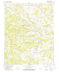
Editions of this 1980 Scopus Map
2 editions found
Other maps of this area

1910 · Higdon
USGS Topo · 1:62,500

1923 · Perryville
USGS Topo · 1:62,500

1924 · Perryville
USGS Topo · 1:62,500

1933 · Marble Hill
USGS Topo · 1:62,500

1933 · Marquand
USGS Topo · 1:62,500

1937 · Marble Hill
USGS Topo · 1:62,500

1938 · Marquand
USGS Topo · 1:62,500

1949 · Paducah
USGS Topo · 1:250,000

1949 · Rolla
USGS Topo · 1:250,000

1950 · Paducah
USGS Topo · 1:250,000