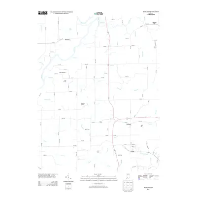
2013 Map of Scotland
USGS Topo · Published 2013About this map
The Naval Weapons Support Ctr dominates the southeastern quadrant of this landscape, marking a significant military presence near the community of Crane. This area is defined by a complex network of named hollows and ridges, such as Bear Hollow and Feutz Ridge, which transition into the fertile Bogard Bottoms along the watercourses. The drainage patterns are intricate, with Doans Cr and Bogard Cr winding through the terrain toward the White River on the western edge.
Find a feature on this map
93 named features on this map. Tap any name to fly to it.
Don’t see what you’re looking for? This feature index may not catch every label — zoom into the map to look around manually.
Map Details
Editions of this 2013 Scotland Map
This is the sole edition of this map. No revisions or reprints were ever made.
Other maps of this area

1908 · Bloomfield
USGS Topo · 1:62,500

1938 · Switz City
USGS Topo · 1:24,000

1943 · Lyons
USGS Topo · 1:24,000

1943 · Epsom
USGS Topo · 1:24,000

1947 · Switz City
USGS Topo · 1:24,000

1950 · Switz City
USGS Topo · 1:24,000

1950 · Odon
USGS Topo · 1:24,000

1951 · Bloomfield
USGS Topo · 1:24,000

1953 · Indianapolis
USGS Topo · 1:250,000

1956 · Indianapolis
USGS Topo · 1:250,000