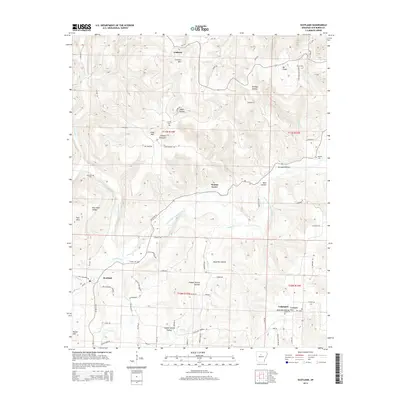
2014 Map of Scotland
USGS Topo · Published 2014About this map
Scotland and the rural hills of Van Buren County are defined by the winding course of the South Fork Little Red River and its varied tributaries. The landscape is a complex network of hollows and ridges, including Brickey Hollow, Wolf Pen Hollow, and Copper Spring Hollow, which have long shaped the local transport patterns. Early family connections are evident in the numerous small burial grounds and landmarks that dot the terrain, such as Foster Cem, Crowell Cem, and Crowell Mtn.
Find a feature on this map
74 named features on this map. Tap any name to fly to it.
Don’t see what you’re looking for? This feature index may not catch every label — zoom into the map to look around manually.
Map Details
Editions of this 2014 Scotland Map
This is the sole edition of this map. No revisions or reprints were ever made.
Other maps of this area

1892 · Marshall
USGS Topo · 1:125,000

1892 · Mountain View
USGS Topo · 1:125,000

1892 · Morrillton
USGS Topo · 1:125,000

1894 · Mountain View
USGS Topo · 1:125,000

1894 · Morrillton
USGS Topo · 1:125,000

1894 · Marshall
USGS Topo · 1:125,000

1901 · Marshall
USGS Topo · 1:125,000

1956 · Russellville
USGS Topo · 1:250,000

1961 · Bee Branch
USGS Topo · 1:62,500

1961 · Bee Branch
USGS Topo · 1:24,000