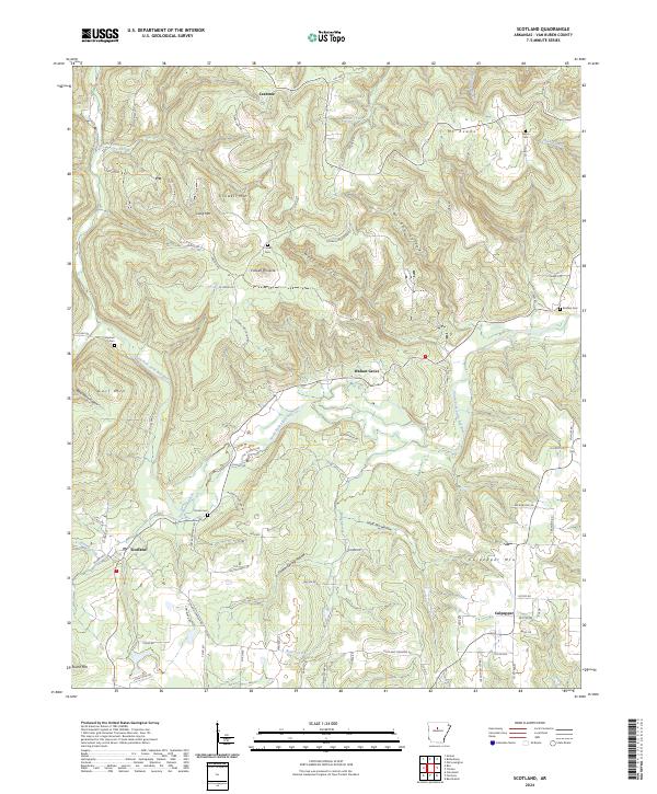
2024 Map of Scotland
USGS Topo · Published 2024About this map
The South Fork Little Red River carves a winding path through this portion of Van Buren County, anchoring a landscape of deep hollows and prominent ridges. Small communities like Scotland and Walnut Grove are situated along the valley floors, while the northern reaches are marked by the elevations of Crowell Mtn and Long Mtn. The map reveals a pattern of rural life defined by family-named landmarks and secluded burial grounds, including the Evans Cem and Gardner Cem, often located near tributary crossings like Boyce Creek and Butter Creek.
Find a feature on this map
82 named features on this map. Tap any name to fly to it.
Don’t see what you’re looking for? This feature index may not catch every label — zoom into the map to look around manually.
Map Details
Editions of this 2024 Scotland Map
This is the sole edition of this map. No revisions or reprints were ever made.
Other maps of this area

1892 · Marshall
USGS Topo · 1:125,000

1892 · Mountain View
USGS Topo · 1:125,000

1892 · Morrillton
USGS Topo · 1:125,000

1894 · Mountain View
USGS Topo · 1:125,000

1894 · Morrillton
USGS Topo · 1:125,000

1894 · Marshall
USGS Topo · 1:125,000

1901 · Marshall
USGS Topo · 1:125,000

1956 · Russellville
USGS Topo · 1:250,000

1961 · Bee Branch
USGS Topo · 1:62,500

1961 · Bee Branch
USGS Topo · 1:24,000