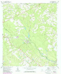
1970 Map of Scotland
USGS Topo · Published 1986About this map
Scotland sits as a central hub at the junction of the Southern railroad and several regional routes, where the landscape is defined by the winding course of the Little Ocmulgee River. The map reveals a transition in the late 20th century, with traditional landmarks like Stuart Chapel and Davis Chapel standing alongside modern infrastructure such as the Radio Tower (WDAX) and a Drive-in Theater. The boundary between Wheeler Co and Telfair Co follows the river's path, while smaller communities like Avants and Towns dot the periphery.
Find a feature on this map
36 named features on this map. Tap any name to fly to it.
Don’t see what you’re looking for? This feature index may not catch every label — zoom into the map to look around manually.
Map Details
Editions of this 1970 Scotland Map
2 editions found
Other maps of this area

1953 · Waycross
USGS Topo · 1:250,000

1957 · Macon
USGS Topo · 1:250,000

1958 · Macon
USGS Topo · 1:250,000

1958 · Waycross
USGS Topo · 1:250,000

1964 · Macon
USGS Topo · 1:250,000

1970 · Scotland
USGS Topo · 1:24,000

1970 · Glenwood
USGS Topo · 1:24,000

1970 · Alamo
USGS Topo · 1:24,000

1970 · Jordan
USGS Topo · 1:24,000

1971 · Jacksonville NE
USGS Topo · 1:24,000