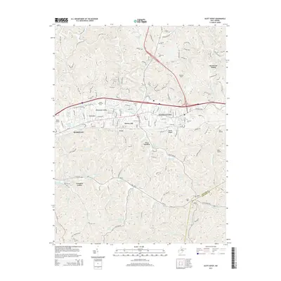
2014 Map of Scott Depot
USGS Topo · Published 2014About this map
Teays Valley serves as the central corridor for this part of Putnam County, showing a landscape defined by residential growth and outdoor recreation. The development pattern follows the valley floor, with neighborhoods like Cheyenne Valley, Fairview, and Hickory Hill established near the primary transit routes. Numerous springs, such as Wyant Spring and Henson Spring, dot the terrain, feeding into creek systems like Hurricane Cr and Poplar Fork.
Find a feature on this map
107 named features on this map. Tap any name to fly to it.
Don’t see what you’re looking for? This feature index may not catch every label — zoom into the map to look around manually.
Map Details
Editions of this 2014 Scott Depot Map
This is the sole edition of this map. No revisions or reprints were ever made.
Other maps of this area

1892 · Huntington
USGS Topo · 1:125,000

1898 · Huntington
USGS Topo · 1:125,000

1899 · Charleston
USGS Topo · 1:125,000
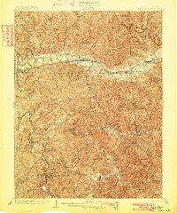
1902 · Milton
USGS Topo · 1:62,500
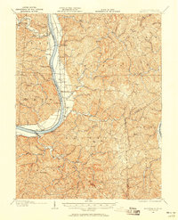
1906 · Glenwood
USGS Topo · 1:62,500
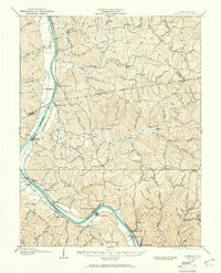
1906 · Winfield
USGS Topo · 1:62,500
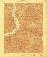
1908 · Glenwood
USGS Topo · 1:62,500
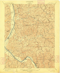
1908 · Winfield
USGS Topo · 1:62,500
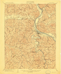
1909 · Saint Albans
USGS Topo · 1:62,500
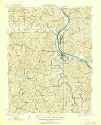
1931 · Saint Albans
USGS Topo · 1:62,500