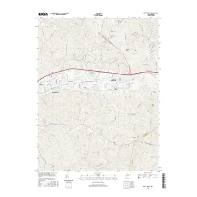
2016 Map of Scott Depot
USGS Topo · Published 2016About this map
Hurricane and Teays Valley anchor this West Virginia landscape, situated where the Putnam Co and Kanawha Co lines meet. The terrain is defined by a dense network of water sources, from the prominent Hurricane Lake and Lake Washington to numerous family-named springs such as Leyton Fisher Spring, Ervan Comer Junior Place Spring, and the Mercer Spring group. These labels suggest a legacy of rural landholdings and local water rights that persisted even as residential development expanded along the Teays Valley corridor.
Find a feature on this map
81 named features on this map. Tap any name to fly to it.
Don’t see what you’re looking for? This feature index may not catch every label — zoom into the map to look around manually.
Map Details
Editions of this 2016 Scott Depot Map
This is the sole edition of this map. No revisions or reprints were ever made.
Other maps of this area

1892 · Huntington
USGS Topo · 1:125,000

1898 · Huntington
USGS Topo · 1:125,000

1899 · Charleston
USGS Topo · 1:125,000

1902 · Milton
USGS Topo · 1:62,500

1906 · Glenwood
USGS Topo · 1:62,500

1906 · Winfield
USGS Topo · 1:62,500

1908 · Glenwood
USGS Topo · 1:62,500

1908 · Winfield
USGS Topo · 1:62,500

1909 · Saint Albans
USGS Topo · 1:62,500

1931 · Saint Albans
USGS Topo · 1:62,500