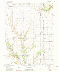
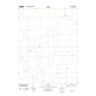
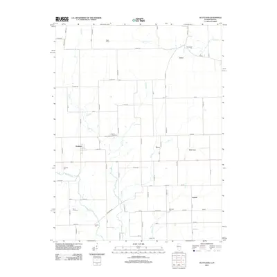
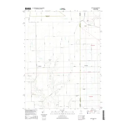
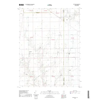
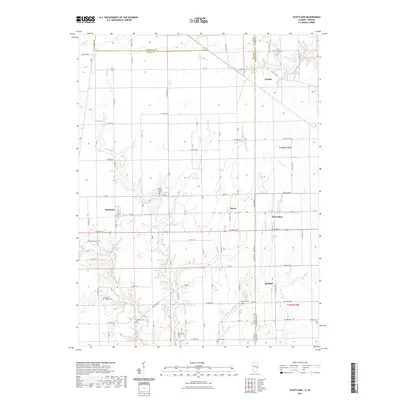
1998 Map of Scottland
USGS Topo · Published 2002About this map
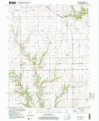
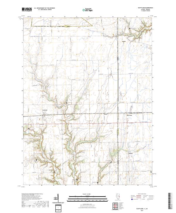
Elwood Prairie and the flatlands of the Illinois-Indiana border characterize this agricultural landscape at the close of the 20th century. The map centers on the small settlement of Scotland (Scotland Sta) and the nearby hamlets of Raven and West Dana, illustrating a rural pattern of development tied to the land and local rail history. A distinct Treaty Boundary cuts diagonally across the northern townships, reflecting an older layer of political geography that predates the standard section lines. The drainage of Brouilletts Creek and its tributaries, including Salt Fork and Lark Run, provides the only significant relief in the terrain. For genealogists, the map is remarkably dense with burial sites, identifying numerous family and community grounds such as Old Hopewell Cem, Newcomb Cem, Mt Carmel Cem, and Cameron Cem.
Find a feature on this map
29 named features on this map. Tap any name to fly to it.
Don’t see what you’re looking for? This feature index may not catch every label — zoom into the map to look around manually.
Map Details
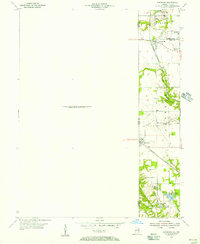
Editions of this 1998 Scottland Map
This is the sole edition of this map. No revisions or reprints were ever made.
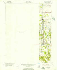
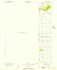
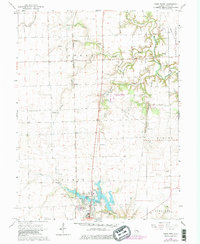
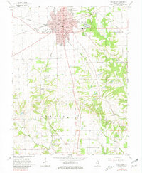
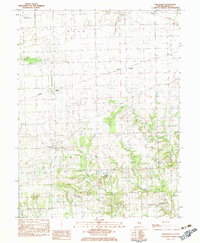
Historical Maps of Raven Through Time
29 maps found
1950 Sandford
Edgar County, IL
1951 Saint Bernice
Edgar County, IL
1955 Scottland
Edgar County, IL
1965 Scottland
Edgar County, IL
1966 Paris North
Edgar County, IL
1966 Paris South
Edgar County, IL
1982 Grandview
Edgar County, IL
1998 Scottland
Edgar County, IL
2011 Scottland
Edgar County, IL
2012 Grandview
Edgar County, IL
2012 Paris North
Edgar County, IL
2012 Paris South
Edgar County, IL
2012 Scottland
Edgar County, IL
2015 Grandview
Edgar County, IL
2015 Paris North
Edgar County, IL
2015 Paris South
Edgar County, IL
2015 Scottland
Edgar County, IL
2018 Grandview
Edgar County, IL
2018 Paris North
Edgar County, IL
2018 Paris South
Edgar County, IL
2018 Scottland
Edgar County, IL
2021 Grandview
Edgar County, IL
2021 Paris North
Edgar County, IL
2021 Paris South
Edgar County, IL
2021 Scottland
Edgar County, IL
2024 Grandview
Edgar County, IL
2024 Paris North
Edgar County, IL
2024 Paris South
Edgar County, IL
2024 Scottland
Edgar County, IL