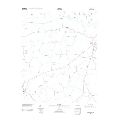
2013 Map of Scotts Hill
USGS Topo · Published 2013About this map
Scotts Hill serves as a primary local center in this region of Tennessee, where the landscape is defined by the winding course of the Beech River and its numerous tributaries. Settled areas like Dixie Mills and Garrett highlight a rural pattern of development, often situated near water sources or along historical routes like Darden Rd and Old Stage Rd. The northeastern corner is shaped by the presence of Kentucky Lake, reflecting the broader impact of mid-century river management on the local geography.
Find a feature on this map
109 named features on this map. Tap any name to fly to it.
Don’t see what you’re looking for? This feature index may not catch every label — zoom into the map to look around manually.
Map Details
Editions of this 2013 Scotts Hill Map
This is the sole edition of this map. No revisions or reprints were ever made.
Other maps of this area

1936 · Scotts Hill
USGS Topo · 1:24,000

1936 · Parsons
USGS Topo · 1:24,000

1936 · Thurman
USGS Topo · 1:24,000

1936 · Bath Springs
USGS Topo · 1:24,000

1936 · Sardis
USGS Topo · 1:24,000

1936 · Jeannette
USGS Topo · 1:24,000

1936 · Reagan
USGS Topo · 1:24,000

1936 · Perryville
USGS Topo · 1:24,000

1936 · Chesterfield
USGS Topo · 1:24,000

1949 · Perryville
USGS Topo · 1:24,000