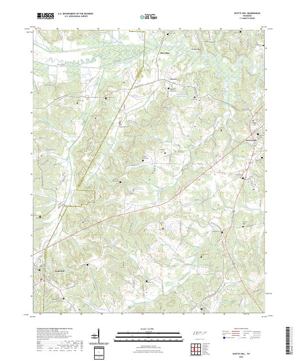
2022 Map of Scotts Hill
USGS Topo · Published 2022About this map
The Henderson and Decatur county line bisects this West Tennessee landscape, where the Beech River and Panther Creek define a terrain of ridges and valleys. The settlement of Scotts Hill serves as a primary anchor in the southwest, while Decaturville occupies the eastern portion of the sheet. For family historians, the map is remarkably dense with burial grounds, ranging from established church sites like New Hope Baptist Church Cem to smaller family plots such as the Myracle Family Cem and Rosson Cem. The road network, including the Middleburg Decatur Road, connects scattered communities like Dixie Mills and Garrett. This 2022 survey documents a largely rural agricultural area where local landmarks such as Bumpers Bluff and Festus Jackson Lake persist alongside newer developments.
Find a feature on this map
129 named features on this map. Tap any name to fly to it.
Don’t see what you’re looking for? This feature index may not catch every label — zoom into the map to look around manually.
Map Details
Editions of this 2022 Scotts Hill Map
This is the sole edition of this map. No revisions or reprints were ever made.
Other maps of this area

1936 · Scotts Hill
USGS Topo · 1:24,000

1936 · Parsons
USGS Topo · 1:24,000

1936 · Thurman
USGS Topo · 1:24,000

1936 · Bath Springs
USGS Topo · 1:24,000

1936 · Sardis
USGS Topo · 1:24,000

1936 · Jeannette
USGS Topo · 1:24,000

1936 · Reagan
USGS Topo · 1:24,000

1936 · Perryville
USGS Topo · 1:24,000

1936 · Chesterfield
USGS Topo · 1:24,000

1949 · Perryville
USGS Topo · 1:24,000