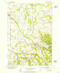
1954 Map of Scotts Mills
USGS Topo · Published 1956About this map
Scotts Mills serves as the focal point of this mid-1950s survey of the border between Clackamas and Marion counties. The landscape is defined by the transition from the flat agricultural expanses of Elliott Prairie to the more dissected terrain of Missouri Ridge. Significant timber and milling activity is evident through the presence of a Sawmill and the Log Pond in the north, while rural social life is anchored by locations like the Grange Hall near Oaklawn and the Trinity Lutheran Ch.
Find a feature on this map
35 named features on this map. Tap any name to fly to it.
Don’t see what you’re looking for? This feature index may not catch every label — zoom into the map to look around manually.
Map Details
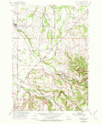
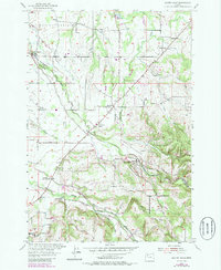
Editions of this 1954 Scotts Mills Map
3 editions found
Other maps of this area

1923 · Mount Angel
USGS Topo · 1:62,500

1925 · Stayton
USGS Topo · 1:62,500

1939 · Molalla
USGS Topo · 1:62,500

1940 · Molalla
USGS Topo · 1:62,500

1940 · Mount Angel
USGS Topo · 1:62,500

1941 · Stayton
USGS Topo · 1:62,500

1948 · Vancouver
USGS Topo · 1:250,000

1950 · Vancouver
USGS Topo · 1:250,000

1950 · Vancouver
USGS Topo · 1:250,000

1951 · Lyons
USGS Topo · 1:62,500