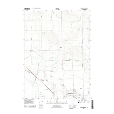
2014 Map of Scottsbluff North
USGS Topo · Published 2014About this map
Scottsbluff and its northern outskirts are defined by an intricate network of irrigation systems and transportation corridors in this 2014 survey. The landscape is heavily managed for agriculture, evidenced by the dense grid of county roads and numerous water management features like the Interstate Canal, Tri-State Canal, and Enterprise Canal. These man-made waterways divert from the North Platte River to support the surrounding plains.
Find a feature on this map
89 named features on this map. Tap any name to fly to it.
Don’t see what you’re looking for? This feature index may not catch every label — zoom into the map to look around manually.
Map Details
Editions of this 2014 Scottsbluff North Map
This is the sole edition of this map. No revisions or reprints were ever made.
Other maps of this area

1898 · Scotts Bluff
USGS Topo · 1:125,000

1899 · Whistle Creek
USGS Topo · 1:125,000

1954 · Scottsbluff
USGS Topo · 1:250,000

1955 · Alliance
USGS Topo · 1:250,000

1957 · Alliance
USGS Topo · 1:250,000

1958 · Alliance
USGS Topo · 1:250,000

1958 · Scottsbluff
USGS Topo · 1:250,000

1963 · Scottsbluff South
USGS Topo · 1:24,000

1963 · Mitchell
USGS Topo · 1:24,000

1963 · Scottsbluff North
USGS Topo · 1:24,000