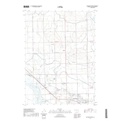
2017 Map of Scottsbluff North
USGS Topo · Published 2017About this map
The North Platte River corridor north of Scottsbluff reveals a highly engineered agricultural landscape defined by an intricate network of irrigation infrastructure. Large-scale water management projects, including the Interstate Canal, Tri-State Canal, and Winters Creek Canal, dominate the terrain, facilitating the region's farming economy. Small rail-side and road-junction settlements such as Mintle, Covert, and Heldt dot the high plains, serving as historic collection points for local produce.
Find a feature on this map
106 named features on this map. Tap any name to fly to it.
Don’t see what you’re looking for? This feature index may not catch every label — zoom into the map to look around manually.
Map Details
Editions of this 2017 Scottsbluff North Map
This is the sole edition of this map. No revisions or reprints were ever made.
Other maps of this area

1898 · Scotts Bluff
USGS Topo · 1:125,000

1899 · Whistle Creek
USGS Topo · 1:125,000

1954 · Scottsbluff
USGS Topo · 1:250,000

1955 · Alliance
USGS Topo · 1:250,000

1957 · Alliance
USGS Topo · 1:250,000

1958 · Alliance
USGS Topo · 1:250,000

1958 · Scottsbluff
USGS Topo · 1:250,000

1963 · Scottsbluff South
USGS Topo · 1:24,000

1963 · Mitchell
USGS Topo · 1:24,000

1963 · Scottsbluff North
USGS Topo · 1:24,000