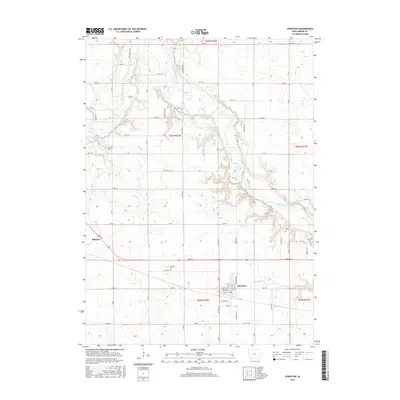
2015 Map of Scranton
USGS Topo · Published 2015About this map
Scranton sits at the heart of this Greene County landscape, organized by the rigid Section-Township-Range grid typical of the Iowa prairie. The North Raccoon River carves a sinuous path through the northeastern and eastern portions of the quadrangle, creating a rare break in the agricultural geometry with its wooded banks and shifting floodplains. Near the western edge, the small settlement of Ralston is positioned along the transit corridor, while the surrounding countryside is dotted with local heritage sites like Dillavou Cem and Thompson Cem. The map reveals a highly developed drainage system, including Drainage Ditch 171, which supports the intensive farming of the region. Tributaries like Otter Cr and Short Cr feed into the Raccoon River, defining the natural hydrology that once dictated the placement of these early agricultural communities.
Find a feature on this map
60 named features on this map. Tap any name to fly to it.
Don’t see what you’re looking for? This feature index may not catch every label — zoom into the map to look around manually.
Map Details
Editions of this 2015 Scranton Map
This is the sole edition of this map. No revisions or reprints were ever made.
Other maps of this area

1954 · Bagley
USGS Topo · 1:62,500

1954 · Omaha
USGS Topo · 1:250,000

1954 · Fort Dodge
USGS Topo · 1:250,000

1957 · Omaha
USGS Topo · 1:250,000

1957 · Fort Dodge
USGS Topo · 1:250,000

1958 · Omaha
USGS Topo · 1:250,000

1958 · Fort Dodge
USGS Topo · 1:250,000

1962 · Jefferson
USGS Topo · 1:62,500

1971 · Coon Rapids NE
USGS Topo · 1:24,000

1971 · Coon Rapids North
USGS Topo · 1:24,000