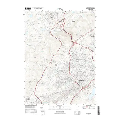
2016 Map of Scranton
USGS Topo · Published 2016About this map
The Lackawanna River corridor defines the industrial and urban backbone of this Northeastern Pennsylvania valley, where dense neighborhoods like Hyde Park and Green Ridge flank the central business district. The landscape reflects a transition from the intensive rail and coal heritage found at the Steamtown National Historic Site and the Clark Tunnel to the expanding suburban reaches of Clarks Summit and Clarks Green to the north.
Find a feature on this map
348 named features on this map. Tap any name to fly to it.
Don’t see what you’re looking for? This feature index may not catch every label — zoom into the map to look around manually.
Map Details
Editions of this 2016 Scranton Map
This is the sole edition of this map. No revisions or reprints were ever made.
Other maps of this area

1889 · Scranton
USGS Topo · 1:62,500

1891 · Scranton
USGS Topo · 1:62,500

1892 · Dundaff
USGS Topo · 1:62,500

1893 · Pittston
USGS Topo · 1:62,500

1893 · Scranton
USGS Topo · 1:62,500

1943 · Scranton
USGS Topo · 1:125,000

1946 · Tunkhannock
USGS Topo · 1:62,500

1946 · Dalton
USGS Topo · 1:24,000
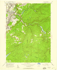
1946 · Avoca
USGS Topo · 1:24,000

1946 · Olyphant
USGS Topo · 1:24,000