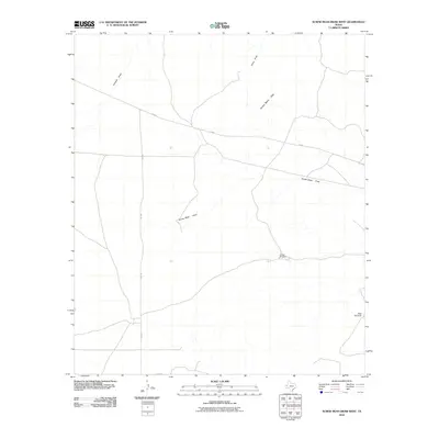
2010 Map of Screw Bean Draw West
USGS Topo · Published 2010About this map
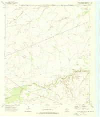
The Screw Bean Hills dominate this arid landscape in Culberson County, where the infrastructure is defined primarily by water management and transit routes. Life in this high desert environment is traced through the network of seasonal watercourses like Screw Bean Draw, China Draw, and Kimbell Draw. These ephemeral features, along with the strategically placed Collier Windmill and High Windmill, highlight the region's historical reliance on cattle ranching and scattered water sources. Two primary paved corridors, FM 652 and FM 2185, intersect in the northern portion of the quadrangle, serving as the modern lifelines for this sparsely populated portion of West Texas. The arrangement of windmills and roads against the backdrop of the draws provides a clear look at how human activity has adapted to the challenging terrain of the Trans-Pecos.
Find a feature on this map
8 named features on this map. Tap any name to fly to it.
Don’t see what you’re looking for? This feature index may not catch every label — zoom into the map to look around manually.
Map Details
Editions of this 2010 Screw Bean Draw West Map
This is the sole edition of this map. No revisions or reprints were ever made.
Other maps of this area

1954 · Van Horn
USGS Topo · 1:250,000

1958 · Van Horn
USGS Topo · 1:250,000

1973 · Owl Hills
USGS Topo · 1:24,000

1973 · Seven L Peak NE
USGS Topo · 1:24,000

1973 · Rustler Hills
USGS Topo · 1:24,000

1973 · Screw Bean Draw West
USGS Topo · 1:24,000
1973 · Derrick Draw
USGS Topo · 1:24,000
1973 · Screw Bean Draw NE
USGS Topo · 1:24,000
1973 · Castile Hill
USGS Topo · 1:24,000
1973 · Outlaw Spring
USGS Topo · 1:24,000