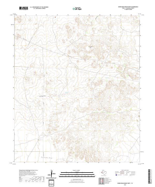
2022 Map of Screw Bean Draw West
USGS Topo · Published 2022About this map
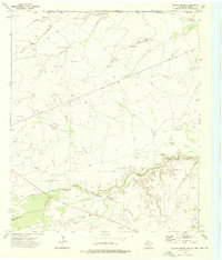
Screw Bean Hills rises above a landscape defined by an complex network of ephemeral watercourses in this high-desert portion of West Texas. The drainage patterns are dominated by Screw Bean Draw and Horseshoe Draw, which provide vital clues to the historical movement of water and travelers across these arid flats. Isolated water sources like Cottonwood Springs and Toy Springs stand out as critical landmarks in an otherwise dry terrain, historically serving as essential stopovers for anyone traversing the region. Transportation across these wide-open spaces is facilitated by several state and ranch roads, including Ranch Rd 652 and FM 2185, which cut straight lines through the undulating topography. The map illustrates the sparsely populated nature of Culberson County, where natural features like China Draw and Kimbell Draw serve as the primary identifiers of the land.
Find a feature on this map
12 named features on this map. Tap any name to fly to it.
Don’t see what you’re looking for? This feature index may not catch every label — zoom into the map to look around manually.
Map Details
Editions of this 2022 Screw Bean Draw West Map
This is the sole edition of this map. No revisions or reprints were ever made.
Other maps of this area

1954 · Van Horn
USGS Topo · 1:250,000

1958 · Van Horn
USGS Topo · 1:250,000

1973 · Owl Hills
USGS Topo · 1:24,000

1973 · Seven L Peak NE
USGS Topo · 1:24,000

1973 · Rustler Hills
USGS Topo · 1:24,000

1973 · Screw Bean Draw West
USGS Topo · 1:24,000
1973 · Derrick Draw
USGS Topo · 1:24,000
1973 · Screw Bean Draw NE
USGS Topo · 1:24,000
1973 · Castile Hill
USGS Topo · 1:24,000
1973 · Outlaw Spring
USGS Topo · 1:24,000